Site measurements from an aerial photo.
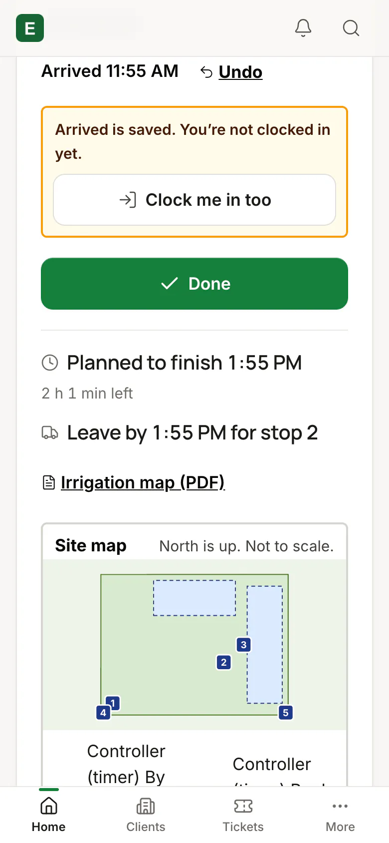
Measure a site’s areas on a free aerial photo and turn them into priced lines on an estimate. Each site keeps a map with numbered pins, and the crew sees it on the job card.
Status Live at our first companyLive at a working landscaping company. It isn’t open to a new company yet.
What it does
- Areas measured on an aerial photo
- Measurements priced into estimate lines
- A site map with numbered pins on the crew’s job card
With the rest of the product
The map follows the site into its estimates, the schedule and the crew phone.
Works with
Estimates and price book
Priced from your own price book, on a phone or at the desk.
In useCrew phone app
Today’s stops, the clock and the job card, in English or Spanish.
Built, switching on
Put your company on the list.
We’re opening to service businesses a few at a time, in the order of this list. Joining is free and doesn’t commit you to anything.